Waymap, a navigation app designed for people with vision impairments, has expanded its services across the entire Washington Metropolitan Area Transit Authority (Metro) system, making the city more accessible to travellers.
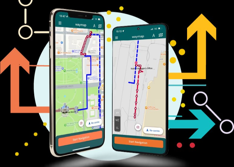
Waymap’s proprietary SmartStep technology gives turn-by-turn, step-by-step audio instructions with up to three feet of accuracy throughout a traveller’s journey. In Washington DC, the app covers 98 rail stations, more than 11,000 bus stops, and 325 bus routes.
With many travellers reporting some degree of vision loss, Waymap is a powerful free tool expanding travel and community connection for people with vision impairments and other disabilities.
“Access to navigation means access to the world – and to all the social, emotional, and professional opportunities it holds,” said Waymap founder and president Tom Pey.
“From lifelong residents with disabilities to visitors and others who have a harder time getting around, everyone should be able to explore all that this great city has to offer. We are grateful to have Metro as a partner in bringing this possibility closer to reality.”
Founded in 2017, the app is inspired and informed by the experiences of Pey.
With over 32-million square feet of real estate mapped globally, Waymap is the only personal navigation system that does not rely on mobile phone signal, WiFi, Bluetooth beacons, GPS, or other physical infrastructure.
Metro GM and CEO Randy Clarke, says: “Metro plays a vital role in the community – connecting people in the region to jobs, schools, major attractions, and recreational activities.
“Ensuring that America’s Metro System is a leader in accessibility on a global scale is a priority for all of us at Metro. Safe, accessible public transit not only increases ridership, it also leads to a stronger economy, improved access to arts and culture, and a better place to live and work overall. Waymap also has the potential to make our region’s transportation network easier for all people to navigate.”
While Washington DC is the first entire city and transportation network to become available on Waymap’s platform, the company plans to expand to more cities internationally in the coming year.
Waymap’s location technology is currently live in cities and locations globally, including:
- Birmingham New Street and University Stations, Birmingham, UK.
- Glasshouse International Music Centre, Newcastle, UK.
- King George Station, Brisbane, Australia.
- Liverpool One, a leading UK shopping mall.
- Principe Pio Station in Madrid, Spain.
- Tampines Interchange / SBS Transit, Singapore.
- The University of British Columbia, Canada.
- Union Station, Los Angeles, California.
Terry Doyle, managing partner of Telus Global Ventures, says: “At the Telus Pollinator Fund, the impact arm of TELUS Global Ventures, we’re committed to investing in innovative technologies that make a meaningful difference in people’s lives.
“Waymap’s groundbreaking navigation platform aligns perfectly with our vision of creating more inclusive and accessible communities by giving visually impaired people the ability and the choice to take public transportation without navigation worries.
“By supporting Waymap’s expansion in Washington DC and beyond, we’re not just investing in a company; we’re investing in a future where everyone, regardless of their abilities, can navigate and experience cities with confidence and independence.”
To date, Waymap has raised $10.75-million in funding with investors including Telus Global Ventures, Venrex, and Whitecloud Capital.
* Visit the Waymap website here.